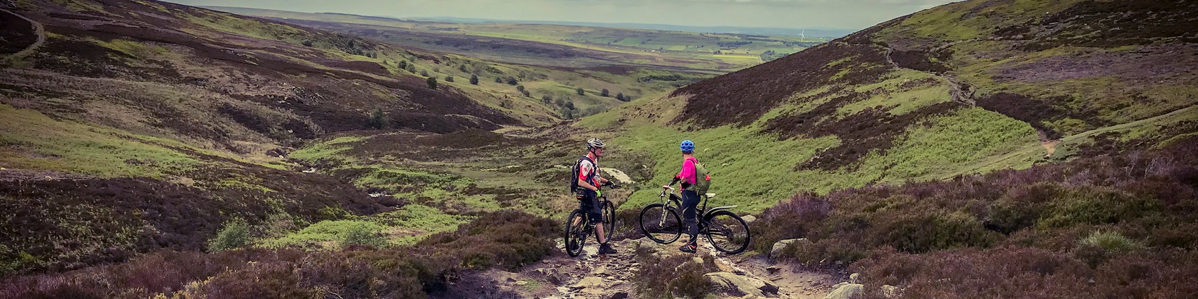
WE AIM TO RUN TWO GROUPS AT ALL RIDES SOMETIMES IT IS NOT POSSIBLE _ ANY CHANGES WILL BE ADDED TO THE RIDES LIST FRIDAY BY 8PM.
Lunch stop: bring something with you, such as sandwiches for a mid-ride break .
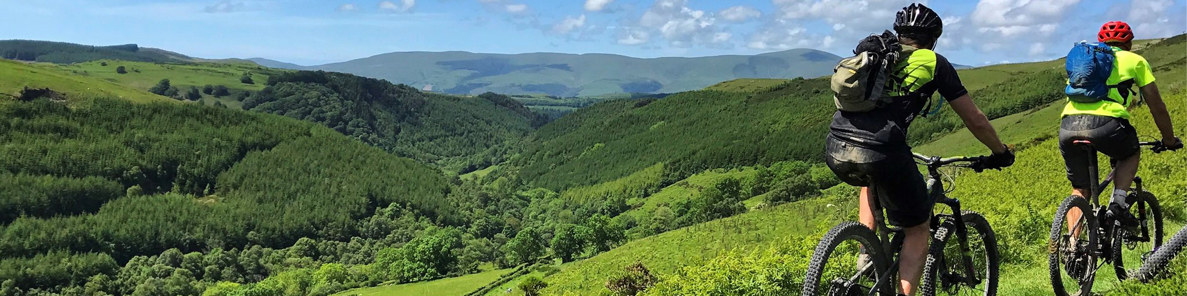
The map reference is the public car park behind the shops on the main road but you get to it by taking the B3052 local residential road that runs south of and parallel to the High Street which is the main A4 road. There is never a guarantee that car park charges will not apply on Sundays, so it’s best to take some coins for the parking meters, just in case. We could cycle up onto Barton Down and then head east towards the western end of the Ridgeway near Avebury. After this, we could follow the Ridgeway to Barbury Castle and then take a variety of loops to Ogbourne St George. This is good riding country so we don’t have to stick to that route suggestion.
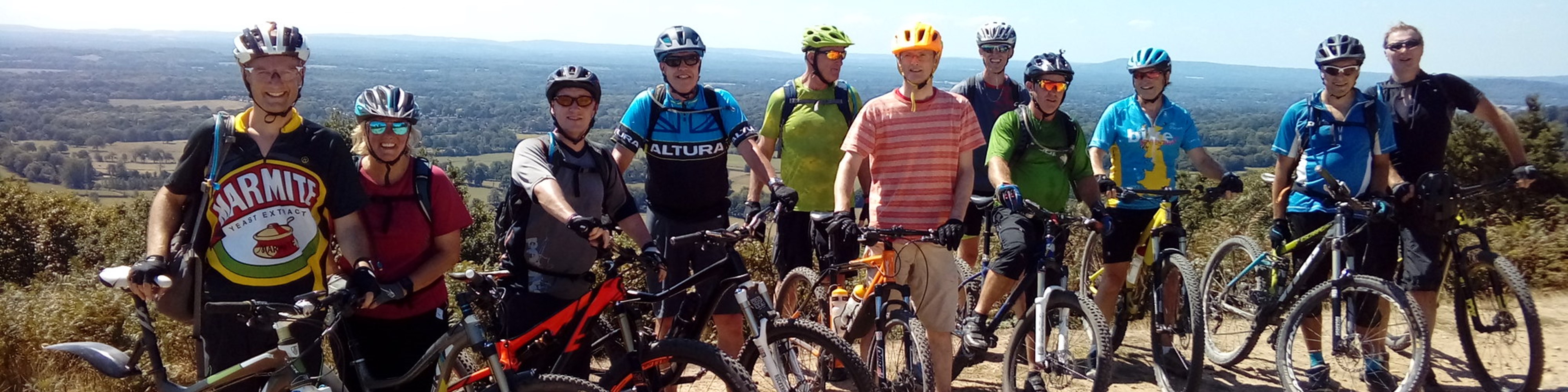
WE AIM TO RUN TWO GROUPS AT ALL RIDES SOMETIMES IT IS NOT POSSIBLE _ ANY CHANGES WILL BE ADDED TO THE RIDES LIST FRIDAY BY 8PM.
Fordingbridge Town Centre Car Park
(ref SU 147 143)
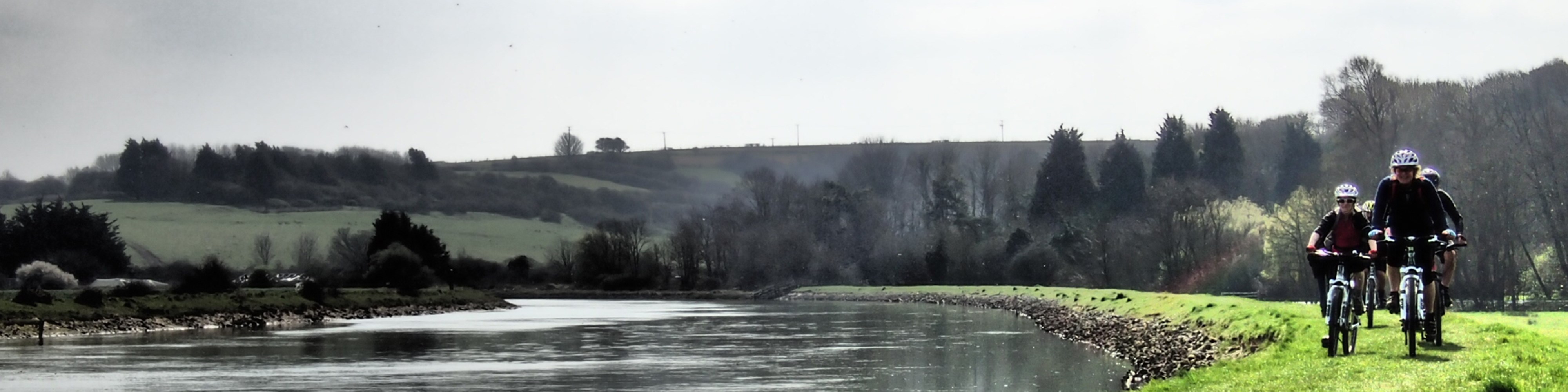
WE AIM TO RUN TWO GROUPS AT ALL RIDES SOMETIMES IT IS NOT POSSIBLE _ ANY CHANGES WILL BE ADDED TO THE RIDES LIST FRIDAY BY 8PM.
This will be a day ride starting from the Lymington ferry terminal and starting on the Island at Yarmouth and it will be a fun day out. Whatever happens, the choice of riding is excellent, the views from the ridges are stunning and the pubs are friendly and welcoming. Remember to bring loads of money for the ferry, the pub, the catering facilities on the ferry and most importantly, a selection of coinage to feed the meter at the car park.
Check the forum/facebook for lunch arrangements nearer the time.
9am ferry please be ready to load at 8.45 - people have missed the ferry! (You can use Tesco vouchers for the ferry.)
Parking is £9 for the day but you can park in Lymington for less (£5 Long Stay car parks) or you might find some on-street parking without restrictions on a Sunday. (Allow time to get to the ferry!!)